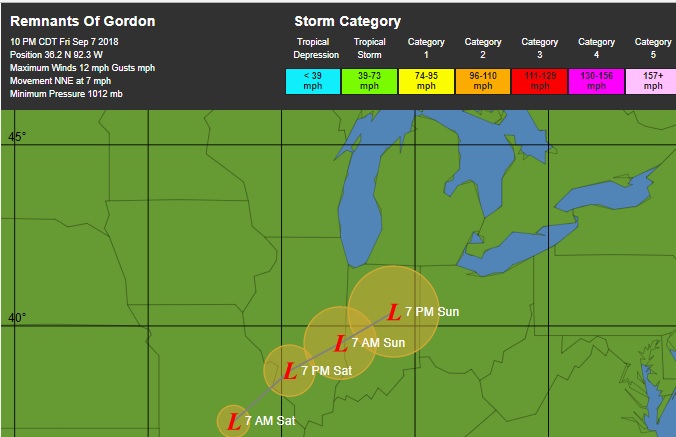
Gonna get worse I suspect. This storm is of significant size, enough that even if it does quickly veer NE, Ky, Tenn, North Ga, the Virginias,and other points just to the north are all going to get a lot of rain, and even a LOT of rain.
Sounds like Flo will be a rainmaker for sure.
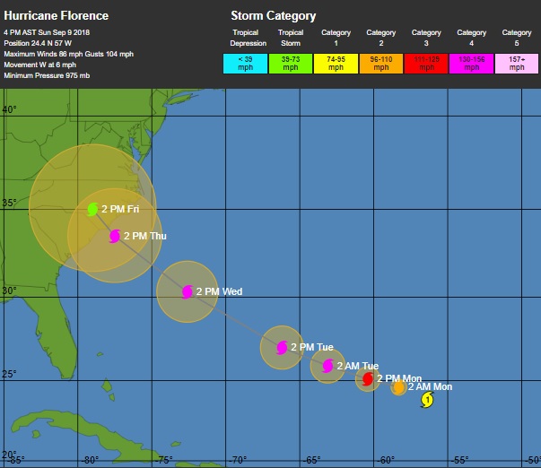
Florence is likely to make landfall on Thursday evening or Friday morning on the coast of North Carolina or South Carolina, and the odds continue to increase that Florence will stall on Friday and meander near or over the coast for several days, making the hurricane a devastating rainfall and coastal flooding threat...............
Florence: an extreme rainfall threat
Our top five models all agree that the trough of low pressure that was expected to turn the hurricane to the north late this week will be too weak to do so, as a strong ridge of high pressure builds over the Mid-Atlantic. This "blocking ridge" is likely to block Florence's forward progress. Florence is expected to stall and wander near or over the coast for as many as four days, potentially becoming the "Harvey of the East Coast", dumping prodigious amounts of rain. If a significant portion of the storm's circulation remains over water, as occurred last year with Hurricane Harvey's stall over Southeast Texas—or even if Florence were to move into the higher terrain of western North Carolina and then stall—the rain from Florence may break all-time state records for rainfall from a hurricane or tropical storm. North Carolina's state rainfall record from a hurricane is 24.06" from Hurricane Floyd of 1999, South Carolina's is 18.51" from Tropical Storm Jerry of 1995, and Virginia's is 27.00" from Hurricane Camille of 1969. There is also the danger that Florence could make landfall, then emerge back over water and re-intensify, increasing its rainfall potential.
Meteorologist Dr. Jeff Masters.